Well, it’s certainly not because of my allergies.
 |
| Pretty. And sneezy. |
Sometimes I think living in Arizona is like a badge of honor. We complain about the heat in the summer, the humidity during monsoons (everyone east of the Rockies scoffs at this…”Girl, you have no idea what real humidity is…”), the allergens during the spring, the dust, the traffic…
So why the heck do we stay?
I can’t speak for the rest of the residents, but based on what I feel is the current over-population, obviously something is keeping us here.
Me, I’m an Arizona native. I’ve been fortunate enough to have had the opportunity to do some pretty awesome traveling, and as much as I love going to other places…I love coming home. I honestly don’t feel an overwhelming desire to move out of the state, despite falling in love with a select few other areas in the country. (None of them have yet managed to put up enough pros to outweigh staying in this state.)
The horse thing is a large part of why I stay. Arizona is a big state. And I’ve had the chance to ride in many different parts of it. (Pretty much all but the far northern part…such as the Grand Canyon…one of these days…)
And it always amazes me how different the state is, even within the span of 50 miles of a ride. So with that, I give you the Tour de Places-Ashley-Has-Ridden.
I love having all of my photos organized and accessible. It means I tend to actually blog with pictures a lot more readily.
And because I’m easily amused and need no excuse to play around with Google Earth, I’m including relevant approximate elevations.
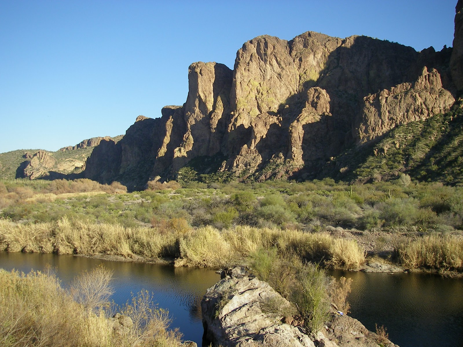 |
| Salt River and part of the Goldfield Mountains. Located directly east of Phoenix about an hour, give or take. ~1400′ elevation |
The Salt River area has Bulldog Canyon and the trails around the Blue Point Recreation Area. Immediately on the south side of these mountains is Usery Mtn Park:
 |
| “Standard” desert. And cholla cactus. Lots of cholla. ~1900′ |
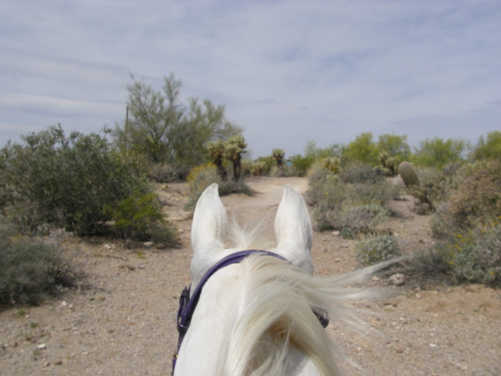
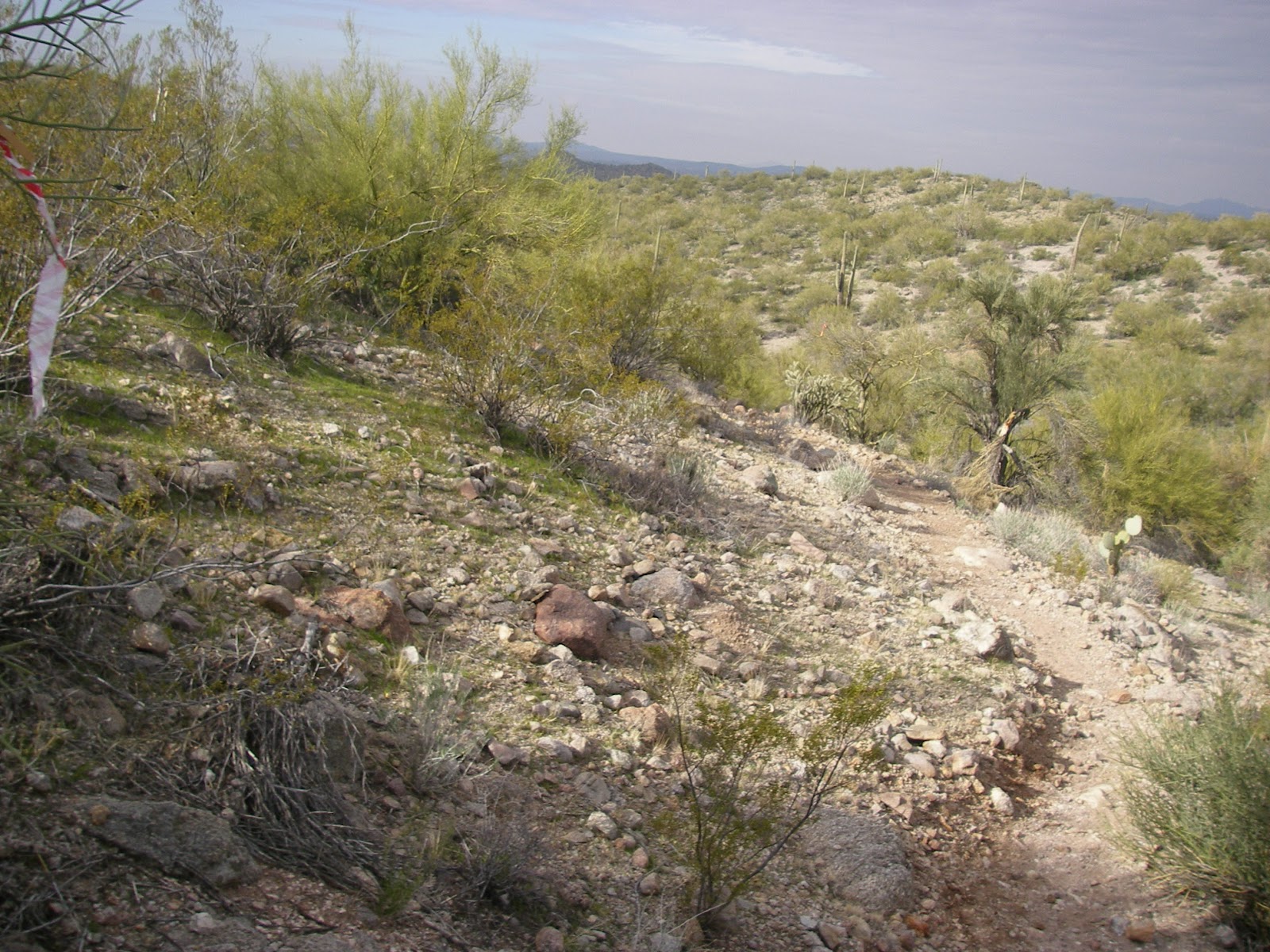
A little to the south by another half an hour or so, and my typical riding stomping grounds, is the San Tan Park in Queen Creek.
 |
| I only have a couple hundred variations of this photo. ~1700′ |
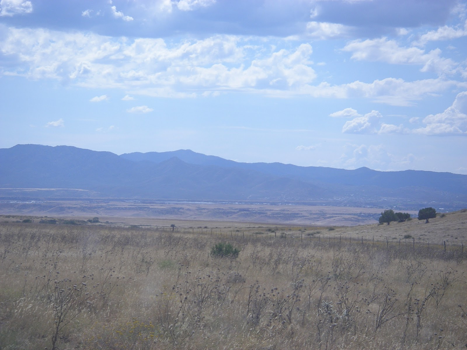
Keep on heading south…waaaay south (like, just-north-of-the-Mexican-border-south) and you run into Sonoita and the Old Pueblo/Las Cienegas endurance rides down there.
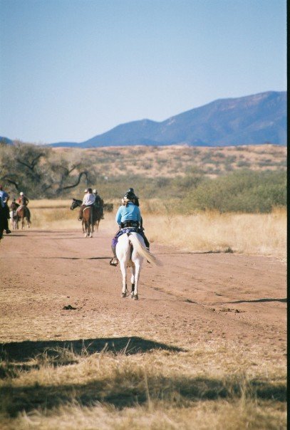 |
| Beautiful, rolling grasslands surrounded by mountains. It’s always windy here. Non-stop. ~4600′ |
Re-centering on Phoenix and heading west, there’s Estrella Mountain Park. Back to what I consider “normal” desert with all the usual suspects…lots of washes, lots of cactus, and in certain times of the year, if you’re really lucky, a few wisps of desert grass.
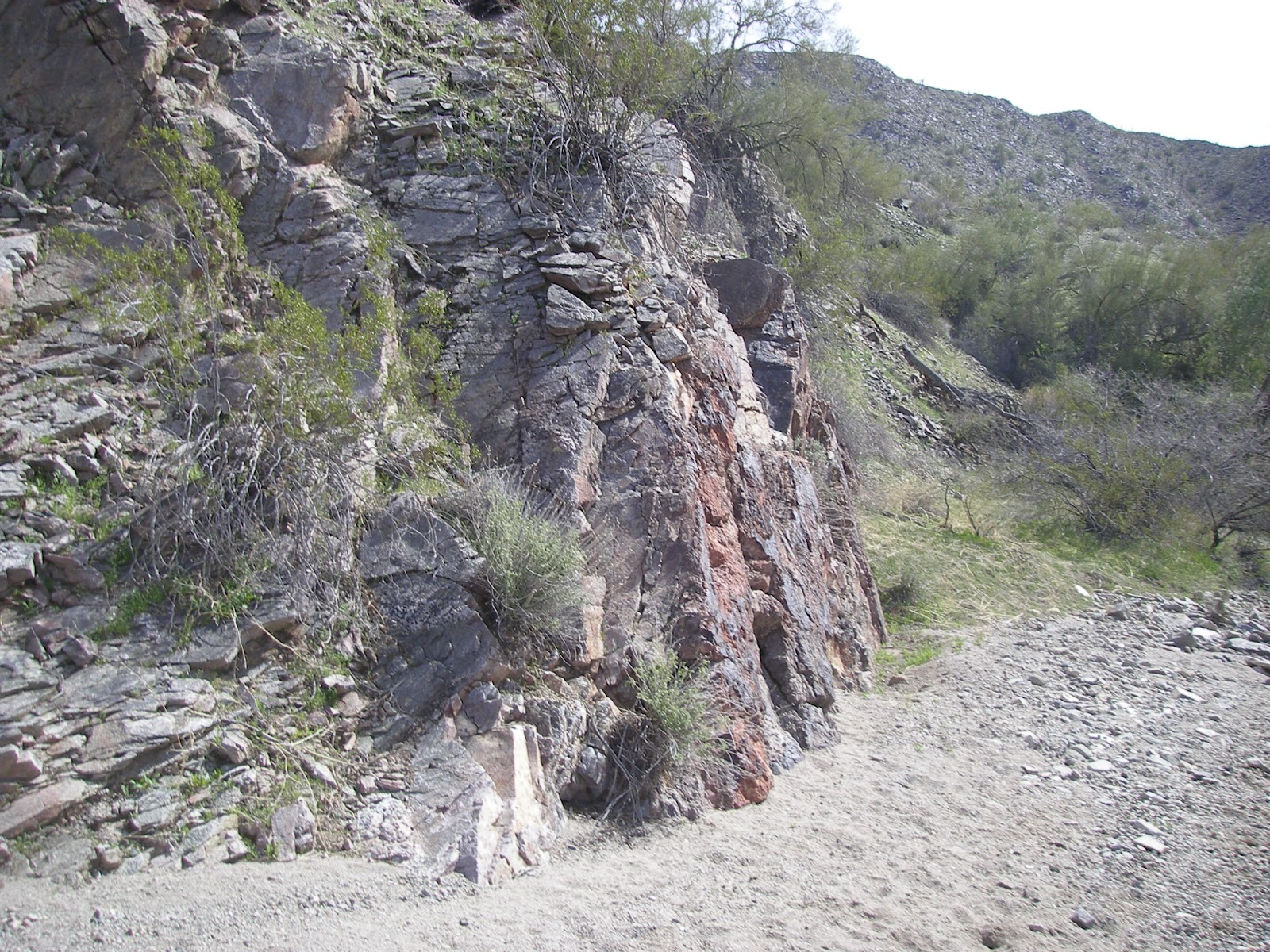 |
| Grass. Thoroughly interwoven with toxic weeds. This is the desert. ~1000′ |
I did quite a bit of riding between the three parks: Usery, San Tan, and Estrella. They have civilized trailheads with water, trailer parking, and signed trails. Which also means they host a plethora of hikers and mountain bikers. Good desensitization training.
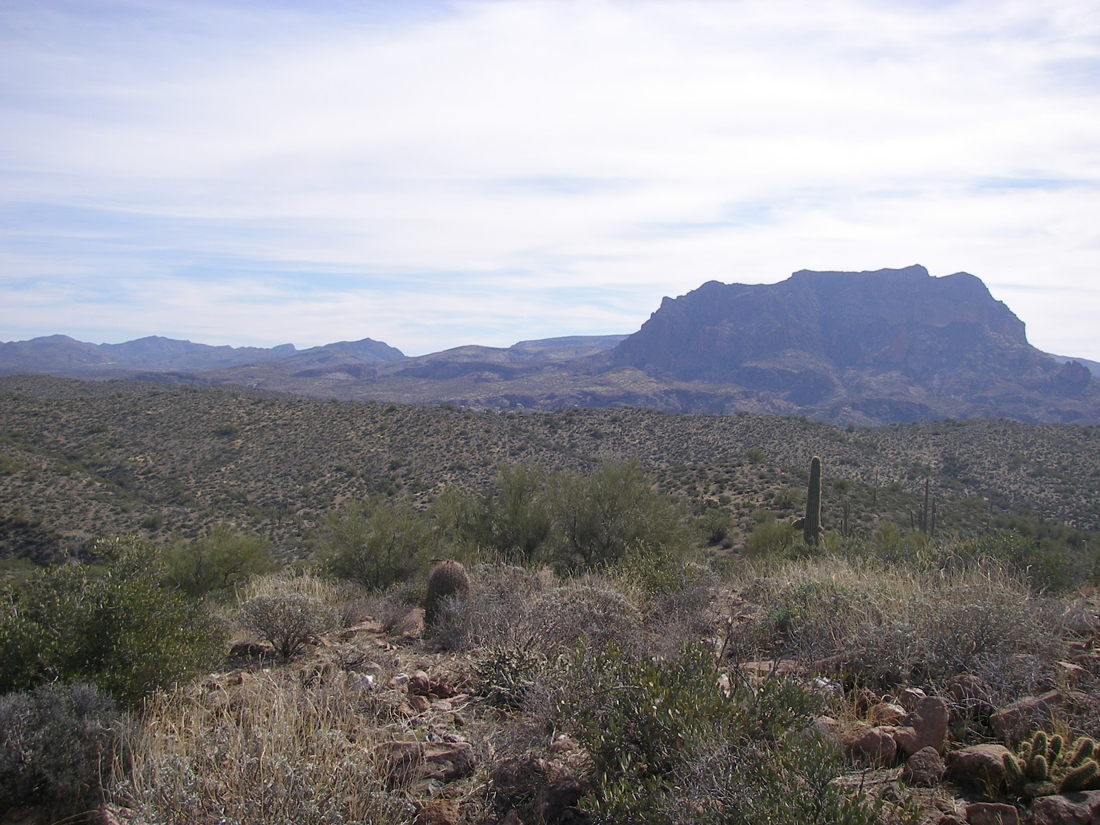
 |
| Picketpost Mountain proper ~2400′ |
Back into the Valley, just northeast of Phoenix, there’s the area that I call the North Scottsdale/Fountain Hills/Rio Verde confluence. Dad’s first horse came from the Rio Verde area, we spent quite a lot of time trail riding in the Rio Verde Foothills area, and McDowell Mtn Park is located there.
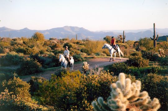 |
| McDowell is like most other Valley parks: sand, cactus, and more sand and cactus. ~1700′ |
In the northwestern part of the Valley, there’s Wickenburg, site of quite a few rides we’ve done: 2 NATRC and 4 endurance.
 |
| Similar to “my” desert, but typically slightly cooler. ~2200′ |
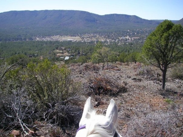
 |
| “Red dirt” elevation, ~6700′. This particular trail runs right below the Mogollan Rim, which rises a vertical 1000′ above this point. |
Head northwest from Payson, and you run into the little towns of Pine and Strawberry. They’re also right below the Rim, and actually at a lower elevation than the more easterly-located Payson area trailheads.
 |
| Lower elevation, less red dirt. (Which results in cleaner pony legs and tails.) ~5400′ |
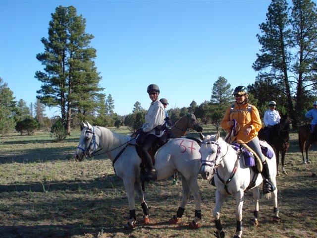
Now we’re in the mountains, which are something of a fascination and novel concept to this long-time desert rat. North of Phoenix by a couple of hours is Prescott, which is an amazing range of micro-climates within a very short span of time. Exhibit A, Man Against Horse 50:
 |
| Gorgeous mountain sunrises. Not that they’re shabby down in the Valley, either. There is a plus to the dust pollution in the air. |
 |
| Ridecamp, down in the rolling grasslands. ~5300′ |
 |
| Wind up in the pine trees at ~7700′ halfway through before descending through red-dirt elevation and back to ridecamp. |
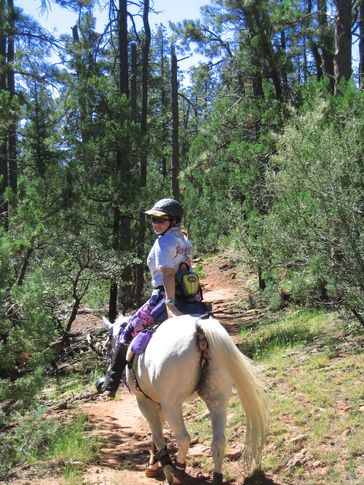
Another hour or so north of Prescott is Flagstaff. Flagstaff is pine trees and snow skis (for at least a couple of months in the winter). And the best summer escape destination. Fortunately, there are some nice horse camps up there to accommodate the droves of Valley-dwellers that make frequent weekend pilgrimages.
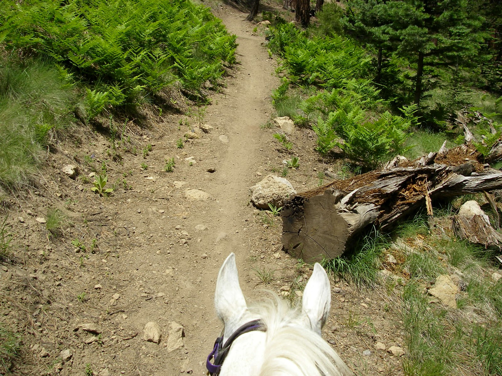 |
| Greenery…pony-eating downed logs… 7300′ (to start) |
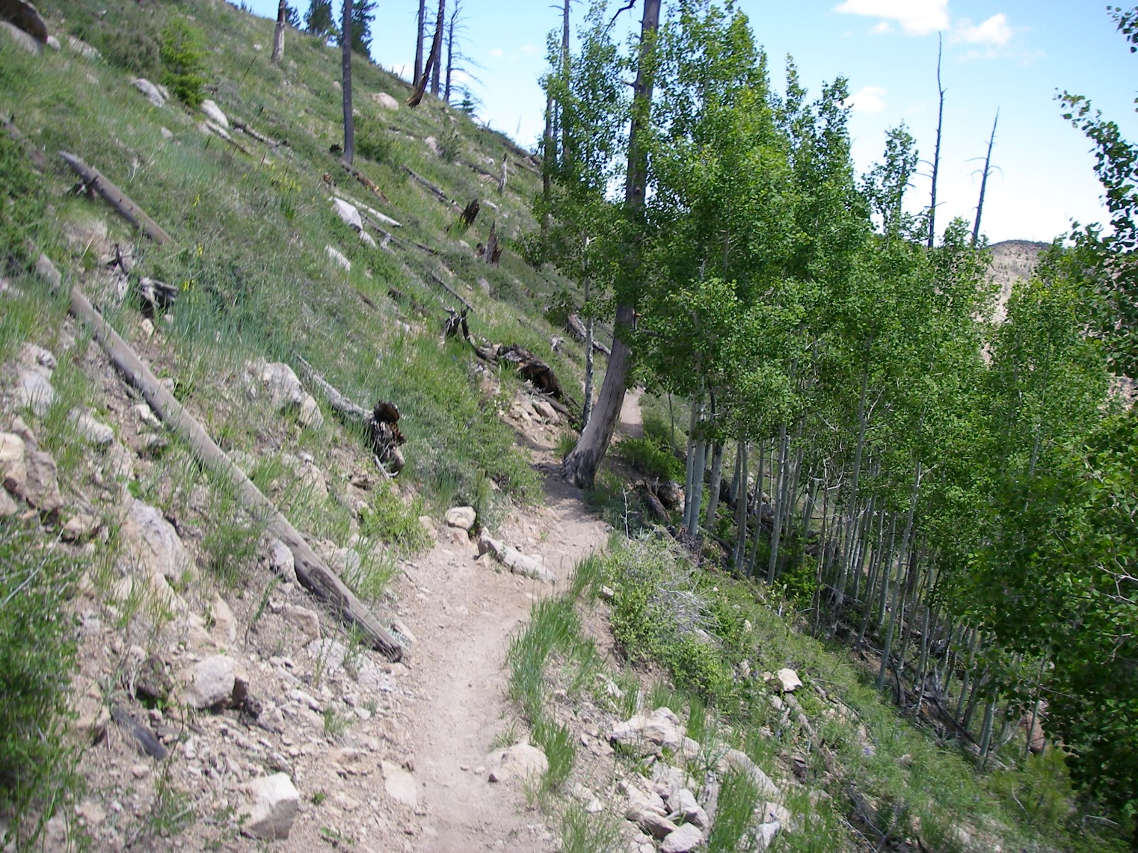 |
| Aspen grove, which means the elevation went up… to ~8900′ (Another pesky feature of mountains…I am a low-lander… I cannot breathe properly at high elevation.) |
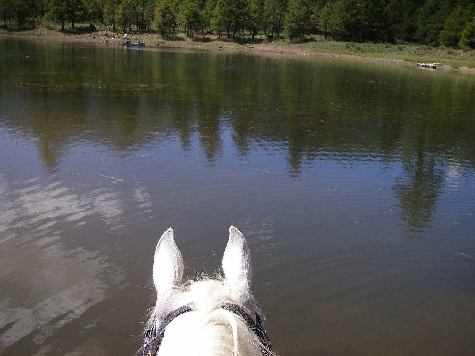 |
| One of my favorite features…mountain lakes! ~8000′ |
West of Flagstaff is the “gateway to the Grand Canyon”: Williams. My overwhelming takeaway impressions of Williams are if your horse doesn’t trip on the rocks and fall and squish you, then you’ll both be eaten alive by the vampire-alike no-see-ums.
 |
| That innocuous-looking meadow of grass in the background? Not so much. The grass hides the fact it is completely covered in softball-sized (at minmum) volcanic rock. ~6600′ |
Williams is also the location of Al-Marah Arabians’ Hat Ranch, where they let the babies run around and grow up for a couple of years, which goes a long way towards explaining why they seem to produce some outstanding endurance horses.
Finally, just for kicks…Y’all want to know where I live?
